The effects of land-use and structural heterogeneity on biodiversity: A new assessment method using cost-effective remote sensing and fine-scale pattern analysis
1. The biodiversity of the forest floor can be correlated with a structural complexity index derived from aerial image analysis of canopy properties.
2. The correlation between biodiversity and scale-dependent indices derived from aerial image analysis is stronger than the correlation between biodiversity and terrestrial ‘scale-free’ indices.
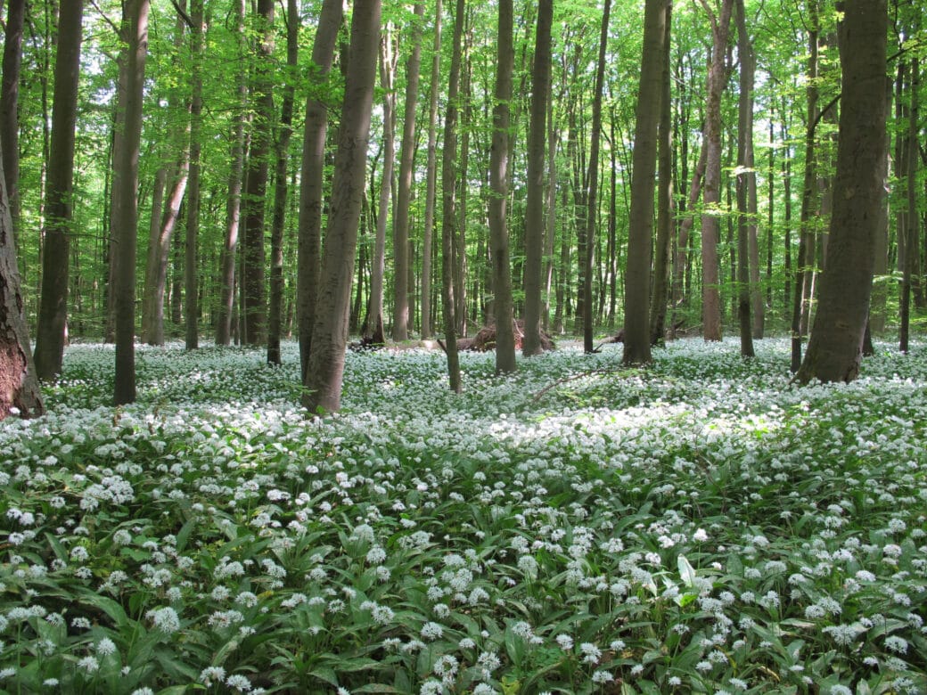
The spatial distribution and quantity of incoming solar radiation should affect species compositions of vascular plants in the forest understory because, in dependence on growth and reproduction, different plant species perceive the quality of available light differently. Hence, the spatial complexity of gaps and tree crowns may function as a structural filter whose individual properties may shape dependent biodiversity. The goal of our first hypothesis is to use high-resolution aerial images taken by unmanned air vehicles (UAVs) to describe this filter with a spatial statistical index and to correlate it with the diversity of previously mapped plants of the understory. According to our second hypothesis, this correlation based on scale-dependent remote-sensing data should be stronger than the correlation with a conventional complexity index that is based on ‘scale-free’ terrestrial measurements. This hypothesis has its reasoning in the wide-spread knowledge about different modes of reproduction (clonal vs seeds) and dispersal distances of species, whose success should be directly dependent on the distribution pattern of available gaps. Investigation of hypotheses 1 and 2 is still in process.
3. The biodiversity of the vegetation depends stronger on the management of the stand than on within-stand heterogeneity and associated variability.
However, examination of our third hypothesis has been completed. Our hypothesis has been confirmed: the biodiversity of vascular plants on the forest floor (graminoids, herbs, ferns, and woody plants up to a height of 1.5m) depends stronger on the management/thinning of the stand than on within-stand heterogeneity and associated variability. The effect of heterogeneity within an experimental plot (EP) was evaluated by analyzing the dissimilarity in species composition (beta diversity) in seven randomly spread subplots (Fig. 1 & 2). The beta diversity was calculated as 1 – Simpson’s similarity index by using the mean of 21 pair-wise subplot combinations within an EP. For all investigated EPs within a Biodiversity Exploratory the following mean values for beta diversity caused by the subplot level have been found: Schwäbische Alb: 0.23, Hainich-Dün: 0.26, Schorfheide-Chorin: 0.32 (Fig. 3). In contrast, the effect of the variability between replicates of EPs within the same land-use type on beta diversity was greater (0.28; 0.30; 0.38).
This means that the variability between EPs within the same land-use type does have a considerable effect on species compositions. For example, in age-class forests it may be important in what individual typical spatial patterns trees will be released by foresters. Obviously, this may affect the succession of light-dependent vascular plants on the forest floor because each plant species perceives the spatial pattern of available light as suitable in a different way, depending on its specific life-history strategy (e.g. mode of dispersal and reproduction, shade tolerance, etc). In agreement with latest results from international forest research, there seems to be a considerable potential to shape species compositions via optimized spatial patterns of gaps and tree release. With this subproject, we intend to identify such patterns using high-resolution aerial images and to describe these patterns with an index derived from application of detailed spatial statistics.
Public Datasets
Scientific assistants