#Theory, Modelling & Upscaling #Forest & Deadwood #2020 – 2023
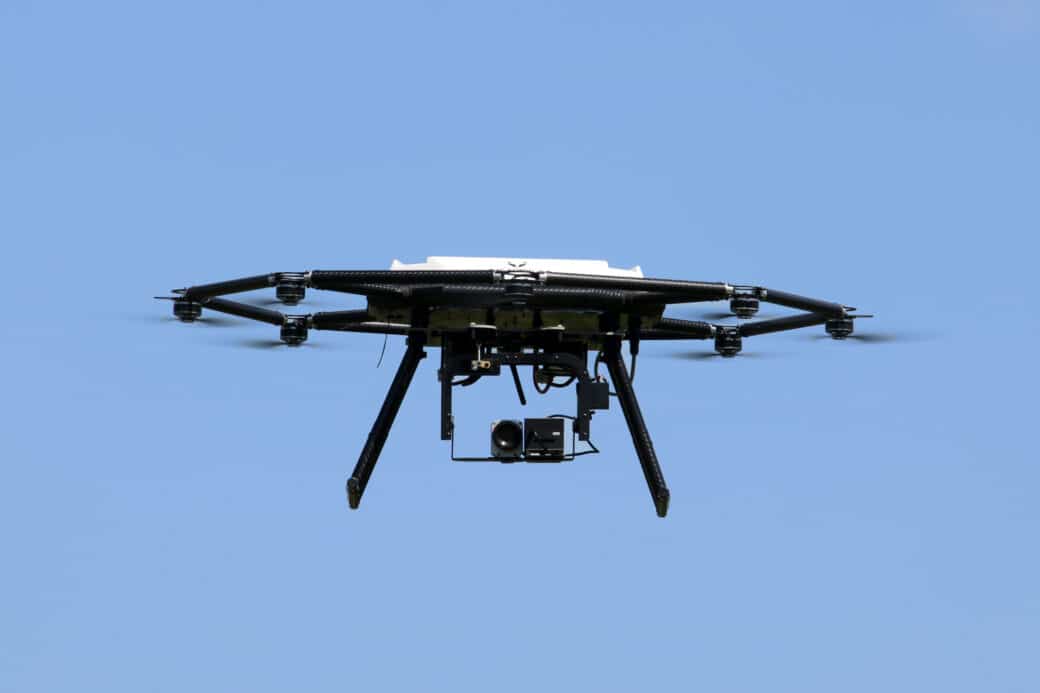
Development of an autonomous drone flight through forest areas for automated digital surveying of forests
The aim of the cooperation project is to develop the automated recording of forest areas.
For this purpose, data on the following parameters are to be collected:
- Tree species, tree stand, and tree diameter.
Object To promote the development of automated recording of forest areas by providing terrestrial forest inventory data.
To this end, the partners initially plan to carry out the following work:
- Inspection with sensors and recording of the area to be mapped
- Manual aerial survey with a drone and the area to be mapped
- Automated aerial survey
- Evaluation of the map data to generate 3D maps
- Training of the AI for the evaluation of the trees
- Training of AI for automated aerial photography
Cooperations are projects financed by the cooperation partners’ own funds and thus financially independent of the DFG-funded infrastructure priority program ‟Biodiversity Exploratories (BE)”. They complement the BE with further interesting research content on biodiversity research and in return benefit from the infrastructure of the Biodiversity Exploratories.
Scientific assistants